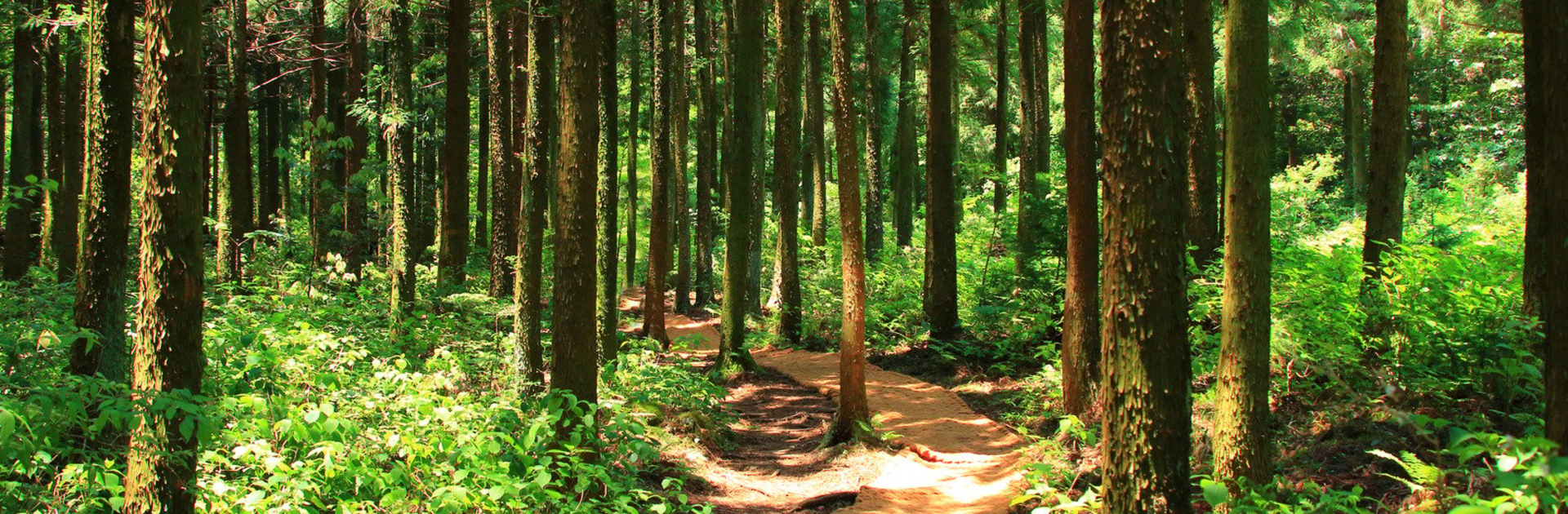

The central Appalachians faces ongoing environmental challenges, including habitat loss and the spread of invasive species. Traditional ground-based methods of assessing and monitoring these threats are limited in how often they can be conducted and how much territory they can cover.
This project is creating an automated system that uses machine learning, massive biological surveys, and remote sensing to map, monitor, and predict biodiversity changes in real time. To date the project team, led by Dr. Matt Fitzpatrick, has processed more than a terabyte of data to map climate, soil, topography, land use, and vegetation across the region.
Meet the Scientists

Dr. Matt Fitzpatrick, Associate Director for Research and Professor, Appalachian Laboratory