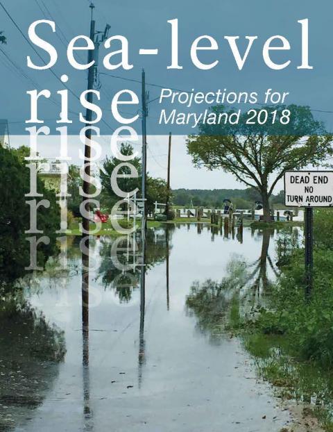
Sea-Level Rise Projections for Maryland 2018
Science-based sea-level rise projections for Maryland’s coastal areas
Maryland, with 3,100 miles of tidal shoreline from the Chesapeake Bay and its tributaries to the Atlantic Ocean and coastal bays, is highly vulnerable to sea-level rise. The state’s extensive low-lying landscapes and urban waterfronts have long been affected by relative sea-level rise, which has been accelerating and is destined to rise at an even faster rate with continued global warming. Consequently, projections of what the sea level will be in the future become critical information for hazard protection and adapting to foreseeable conditions.
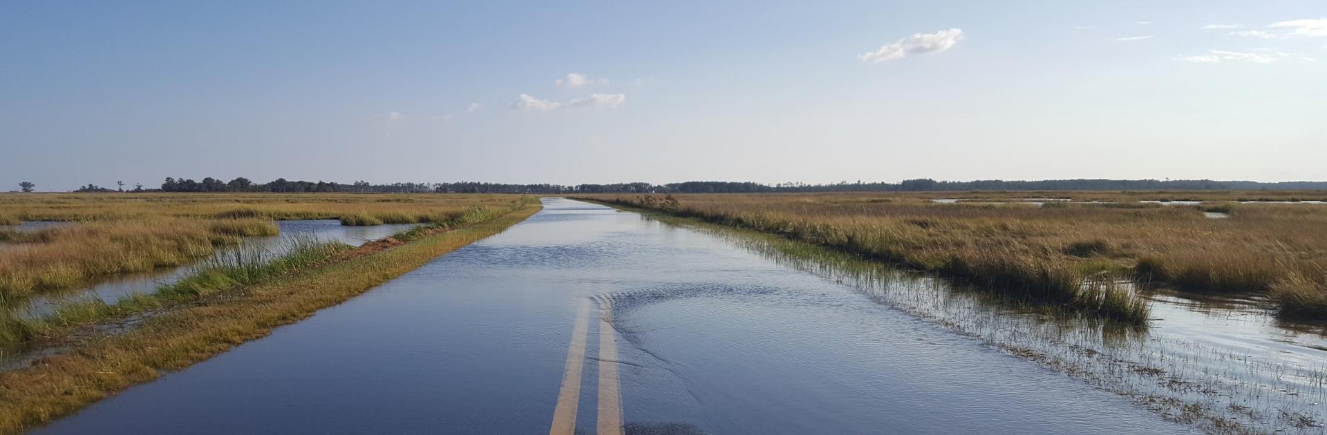
The effects of accelerated sea-level rise are already apparent, including shoreline erosion, deterioration of tidal wetlands, and saline contamination of low-lying farm fields. “Nuisance” tidal flooding (also referred to as high tide flooding) that occurred just a very few days per year in Annapolis in the 1950s now occurs 40 or more days per year. Storm surges from tropical storms or Nor’easters also spread farther and higher, riding on the higher sea level.
For over a decade, the State of Maryland has relied on scientific assessments of likely sea level in the future for its planning of facilities and for coastal management. Sea-level rise projections were first included in the Comprehensive Assessment of Climate Change Impacts in Maryland that was part of the 2008 Plan of Action of the Commission on Climate Change. Because of emerging science related to sea-level rise, the Commission's Scientific and Technical Working Group formed a Sea-Level Rise Expert Group to produce in 2013 a report Updating Maryland's Sea-Level Rise Projections.
The Maryland Commission on Climate Change Act of 2015 requires that "the University of Maryland Center for Environmental Science shall establish science-based sea-level rise projections for Maryland's coastal areas and update them at least every five years." The report below constitutes the update of the 2013 projections.
The projections in the Sea-Level Rise Projections for Maryland 2018 report are produced using a method yielding probability distributions of sea-level rise for discrete time periods and under three greenhouse gas emissions pathways that affect the rate of global warming, and thus sea-level rise. The method was published after the 2013 projections for Maryland, but has since been used for planning in the states of California, Washington, New Jersey and Delaware.
The new projections do not differ substantially from those provided in 2013, but the probability distributions can be useful in planning and regulation, infrastructure siting and design, estimation of changes in tidal range and storm surge, developing inundation mapping tools, and adaptation strategies for high-tide flooding and saltwater intrusion.
In addition, the consequences of failing to reduce greenhouse gas emissions in time to meet the goals of the Paris Climate Agreement for the sea level Maryland will experience later this century and beyond are made starkly apparent. Moreover, these projections do not fully take into account the much more rapid loss of polar ice that emerging science indicates is looming later this century if emissions continue to grow and Earth's temperature is not stabilized.