
From Chesapeake Bay to the World: 15 Years of WRTDS Advancing Water-Quality Science and Management
Two recent publications by researchers at UMCES and USGS highlight how a widely used statistical method has transformed the way scientists and managers understand water quality over the past 15 years.
ANNAPOLIS, MD – Two recent publications by researchers at the University of Maryland Center for Environmental Science and the U.S. Geological Survey (USGS) highlight how a widely used statistical method has transformed the way scientists and managers understand water quality over the past 15 years—from its early applications in U.S. rivers to its adoption around the world.
One of the two papers, published in Environmental Science & Technology, synthesizes the development and global expansion of the Weighted Regressions on Time, Discharge, and Season (WRTDS) method, originally developed by Bob Hirsch and colleagues at USGS. A companion article, published in Nature Reviews Earth & Environment, outlines a forward-looking roadmap for the method’s next phase of development.
“Understanding whether water quality is truly improving requires separating human impacts from natural fluctuations,” said Qian Zhang, lead author of the papers. “WRTDS provides a practical and interpretable way to do that using long-term monitoring data.”
From the United States to Global Adoption
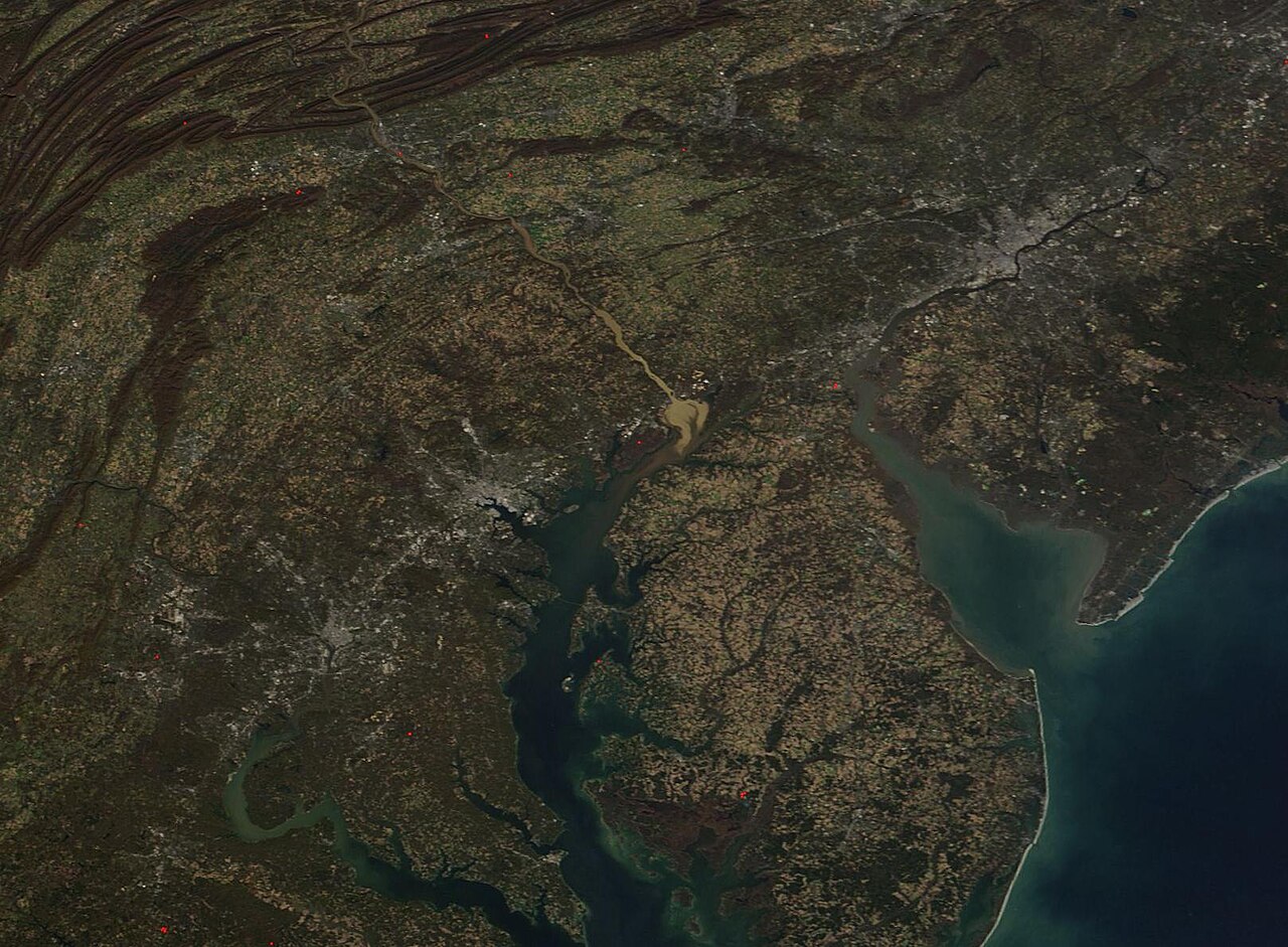
Initially applied to nutrient trends in rivers flowing to the Chesapeake Bay, WRTDS has since expanded to a wide range of environmental settings across North America, Europe, Asia, and Australia. Applications include nutrient analyses in Canada’s Great Lakes Basin, nitrate trends in Germany and France, pollution control assessments in China, and nationwide evaluations of water-quality change across Australia’s river systems.
This global uptake reflects the method’s flexibility across diverse hydrologic conditions and its ability to address widely shared challenges such as nutrient pollution, salinization, and legacy contaminants.
A Widely Used Tool for Science and Management
Since its introduction in 2010, WRTDS has become a widely used tool for analyzing long-term water-quality trends. The method produces both “true-condition” estimates and “flow-normalized” trends, allowing scientists to identify underlying changes that are often masked by short-term hydrologic variability.
Its adoption has been supported by the open-source EGRET software, which has been downloaded more than 80,000 times and is now widely used by scientists, agencies, and policymakers. In the United States, WRTDS informs major environmental programs, including the Chesapeake Bay Program, as well as efforts to reduce nutrient loading to the Gulf of Mexico and the Great Lakes.
“WRTDS has changed the way we interpret long-term water-quality data,” said Robert M. Hirsch. “It allows us to see through the noise of natural variability and better understand how management actions are influencing our rivers.”
Looking Ahead: Advancing the Next Generation
Looking forward, the authors identify priorities for future development, including integrating high-frequency sensor data, improving multi-site uncertainty analysis, and combining WRTDS with machine learning approaches while maintaining transparency and interpretability.
“Water-quality data are becoming richer and more complex,” Zhang said. “The next step is to build on WRTDS so it can fully leverage these new data sources while continuing to support real-world decision making.”
The authors also emphasize the importance of strengthening the global WRTDS community through shared workflows, open tools, and collaborative platforms. Expanding opportunities for knowledge exchange and coordination across agencies and research institutions will help ensure consistent application, reproducibility, and continued innovation as the method evolves to meet emerging water-quality challenges.
Contacts
Qian Zhang, University of Maryland Center for Environmental Science
Robert M. Hirsch, U.S. Geological Survey